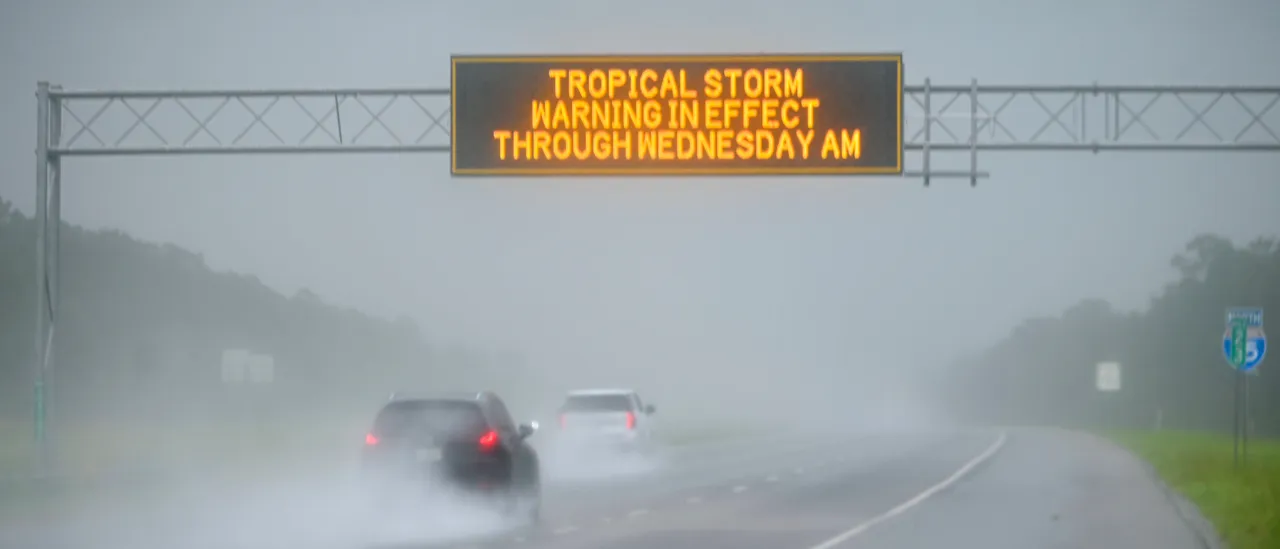
Located around the central and northwestern Bahamas, Tropical Depression Nine strengthened Sunday afternoon into Tropical Storm Imelda, and it’s expected that it will intensify into a hurricane over the coming days while off the United States southeastern coast.
An upgrade from a tropical depression, a tropical storm is a cyclone that has 39-73 mph maximum sustained winds.
Once the winds of Tropical Storm Imelda reach over 74 mph, it will be redesignated as a hurricane, per the Saffirr-Simpson Hurricane Wind Scale. (RELATED: First Tropical Storm Alerts Issued As Future Hurricane Imelda Strengthens)
The location of Tropical Storm Imelda is currently around 370 miles from Cape Canaveral, Florida in the southeast direction, and the storm is headed north at a speed of 7 mph, according to the National Hurricane Center (NHC).
Imelda will move through Sunday night across the central and northwestern Bahamas, and then curve east-northeastward to move away slowly from the United States southeastern coast mid-week.
Tropical Storm #Imelda Advisory 8A: Depression Becomes Tropical Storm Imelda. Tropical Storm Conditions Expected Over the Central and Northwestern Bahamas This Afternoon and Evening. https://t.co/tW4KeGdBFb
— National Hurricane Center (@NHC_Atlantic) September 28, 2025
The Atlantic Ocean has seen a lot of activity here in peak hurricane season, including Hurricane Gabrielle and Hurricane Humberto, which is just hundreds of miles away from Tropical Storm Imelda.
What a sight this is. Several models are showing Hurricane Humberto literally dragging Tropical Depression Nine (Imelda) offshore.
It sounds funny, but essentially a Category 4 hurricane (Category 5 yesterday) is saving the Southeastern United States from a direct landfall. pic.twitter.com/tBTF2eTxhr
— Andrew Powell (@AndrewPow3ll) September 28, 2025
The Atlantic hurricane season ends Nov. 30.


![Donald Trump Slams Chicago Leaders After Train Attack Leaves Woman Critically Burned [WATCH]](https://www.right2024.com/wp-content/uploads/2025/11/Trump-Torches-Powell-at-Investment-Forum-Presses-Scott-Bessent-to-350x250.jpg)