A cross-country system that’s currently brewing is expected to increase in strength as it heads towards the Plains and Mississippi Valley, which could spark up a possible severe weather event over the weekend for millions of people who live in the region.
As the storms head out of the West Coast to make their way into the Rockies, severe weather could potentially develop, however, that particular threat is comparatively low, according to AccuWeather. (RELATED: 1 Dead, 51 Rescued After Powerful Typhoon Halong Remnants Devastate Alaska With Record-Setting Flooding)
As the system advances towards the central United States, however, the risk of severe thunderstorms will heighten.
It’s expected that the system will strengthen as it moves into the Plains. From Oklahoma up to Missouri, scattered thunderstorms and showers could develop, with a few of the storms possibly being violent to include hail and wind gusts that could cause damage.
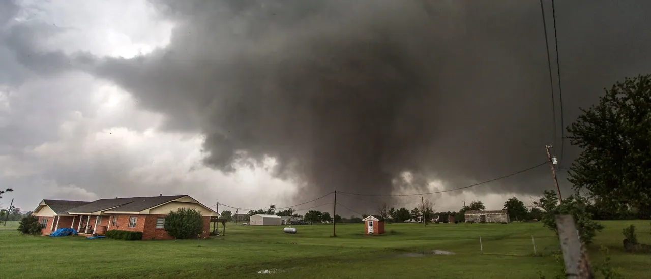
Severe storms could be headed to parts of the Mississippi Valley on Saturday, potentially bringing damaging winds, large hail, tornadoes and heavy rain. Here is the latest update. https://t.co/wCawiB7p9d pic.twitter.com/Jukj1TaUB7
— The Weather Channel (@weatherchannel) October 15, 2025
Friday night heading into Saturday, air that will be warm and humid will charge north towards the regions of Ark-La-Tex, the Missouri’s Ozarks and the Mississippi Valley.
This movement will provide a setup for a severe weather event that will be more widespread, per AccuWeather.
The atmosphere will increasingly become unstable by Saturday afternoon into Saturday night, and supercell thunderstorm development could be backed up by strong wind shear. The storms could be capable of generating tornadoes, damaging wind gusts and large hail.
As of right now, the Mississippi Valley is placed in a Level 2 threat on the Storm Prediction Center’s 5-point severe thunderstorm risk scale. This region includes major cities such as St. Louis, Memphis and Little Rock.


![Donald Trump Slams Chicago Leaders After Train Attack Leaves Woman Critically Burned [WATCH]](https://www.right2024.com/wp-content/uploads/2025/11/Trump-Torches-Powell-at-Investment-Forum-Presses-Scott-Bessent-to-350x250.jpg)