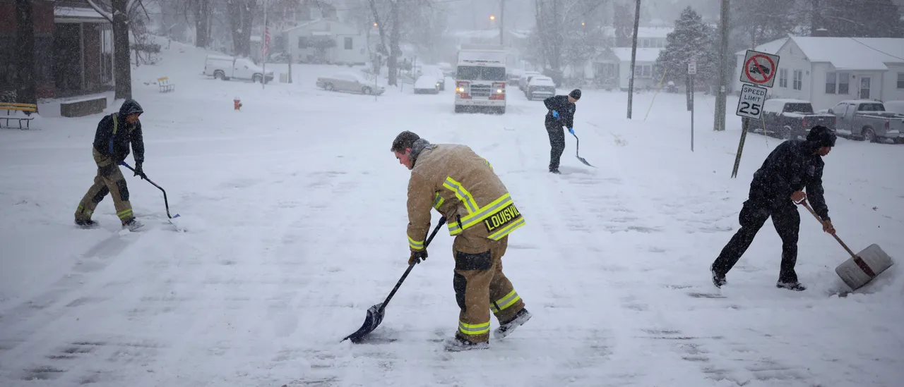
Millions of Americans will get their first feel of winter next week as freezing temperatures and opportunities for snow move in.
As the weekend nears, it’s expected that a low pressure area will head out of Canada to bring in the first blast of a La Niña winter for a lot of the United States, per the FOX Forecast Center.
La Niña is an indication of colder temperatures, and the weather pattern is also known to cause more Nor’easters across the Eastern Seaboard. Here in the autumn, the region has already been impacted by multiple coastal systems. (RELATED: Over 20 Million In Tennessee, Ohio Valleys Face Threat Of Severe Weather As Cold Front Moves In)
Cold air will move out of Canada to the south and will settle Sunday in the eastern United States, extending throughout the majority of the upcoming week, according to the forecast center.
Across 35 states, 170 million Americans could see below freezing temperatures overnight.
Sunday morning has the possibility of having single-digit wind chills throughout Minnesota, Iowa, Nebraska and the Dakotas, per the FOX Forecast Center.
LA NIÑA WINTER: Millions of Americans are going to see the first taste of winter as temperatures drop across the country and lake-effect snow is ushered in to parts of the Great Lakes. https://t.co/Vlqfqv5yW7
— FOX Weather (@foxweather) November 7, 2025
Cities such as Pittsburgh, Detroit, St. Louis and Minneapolis are expected to have 20-degree temperatures Monday, while Dallas, Nashville and Atlanta will experience 30-degree temperatures in the morning.
In the daytime hours, high temperatures will have a hard time getting out of the 30s, according to the forecast center.
By Monday, the cold temperatures will head east towards the Plains and Appalachian Mountains as well.
20-35 mph winds will make the temperatures colder, as wind chills are expected to be in the teens in the interior Northeast, per the FOX Forecast Center.
By Tuesday morning, the potential for several record-low temperatures will exist throughout the Southeast. Some spots in the South are forecasted to nearly break, tie or set records for low temperatures that are a century old.
The first accumulating snowfall of the season is forecast to fall this weekend into early next week across the Great Lakes and Northeast. See more on timing and how much to expect: https://t.co/59E2X9BthZ pic.twitter.com/MuiDPT7xds
— The Weather Channel (@weatherchannel) November 6, 2025
Lake-effect snow is also back in the forecast, which will be a result of cold air from the low pressure area heading over the Great Lakes’ warmer waters. For a lot of locations, it will be the first experience of the season, according to the forecast center.
Forecasts are currently showing that Monday will feature northerly winds that will direct snow towards southern Michigan, northern Indiana, northern Ohio and northwestern Pennsylvania.
Most likely to experience snow will be Lake Michigan’s eastern shores, Erie and Ontario, per the FOX Forecast Center. (RELATED: Aurora Sightings Possible In US After Strong Geomagnetic Storm Watch Issued)
Winds will move to the west by Tuesday, and it’s expected that heavier lake-effect snow bands will cause impacts to western Michigan and western New York.
The Great Lakes could see snow accumulations of 5-8 inches, while isolated areas could have higher totals of 8-12 inches, according to the forecast center.
The first blast of winter, which officially begins Dec. 21, won’t last long with average temperatures returning by the middle of the week.
![Scott Bessent Explains The Big Picture Everyone is Missing During the Shutdown [WATCH]](https://www.right2024.com/wp-content/uploads/2025/11/Scott-Bessent-Explains-The-Big-Picture-Everyone-is-Missing-During-350x250.jpg)