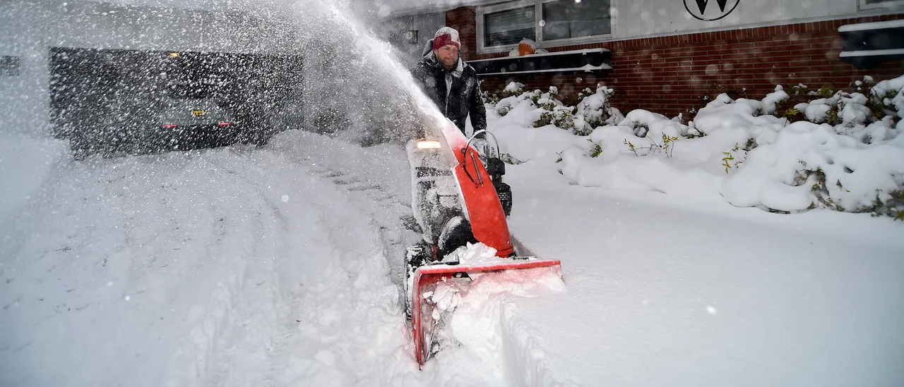
Thanksgiving travel across the Great Lakes Snowbelts could face major disruptions, with the FOX Forecast Center predicting the season’s most intense lake-effect snow event so far. The winter weather is expected to begin Wednesday and continue into Thanksgiving Day and through Black Friday.
Whiteout conditions and life-threatening travel are expected over periods throughout the system. (RELATED: Six Dead Amid Leptospirosis Outbreak In Jamaica After Record-Setting Hurricane Melissa)
Multiple offices of the National Weather Service have issued Winter Storm Watches for areas downwind of Lakes Ontario and Erie starting late Wednesday into Friday evening. Meanwhile, computer forecast models are growing increasingly confident that Michigan’s Upper Peninsula will experience multi-foot snowfall totals by the time the event ends.
The lake-effect snow event will come after an earlier fast-moving system moving out of the Northern Plains that’s expected to deliver mainly rain across the Great Lakes region. Snow will be limited mainly to Minnesota and the Dakotas, with a possible wintry mix developing by Wednesday, which will follow the Northern Plains system that delivers an original round of snow.
Two storm systems will bring rain and snow through Thanksgiving Eve across the Midwest, Great Lakes, and Northeast. Meteorologist @StephanieAbrams breaks down the forecast: pic.twitter.com/kUpdoCoLF0
— The Weather Channel (@weatherchannel) November 24, 2025
Lake-effect snow will be in full force by Thanksgiving Day throughout Michigan’s Upper Peninsula, with some bands potentially being long-lasting and intense. Marquette could get around two feet of snow into Friday, though exact totals will hinge heavily on subtle shifts in wind direction.
The FOX Forecast Center notes greater uncertainty in the forecast for areas near Lakes Ontario and Erie.
A number of Snowbelt communities in Pennsylvania, Ohio and western New York could pick up a foot or more of snow by the end of Black Friday.


![Donald Trump Slams Chicago Leaders After Train Attack Leaves Woman Critically Burned [WATCH]](https://www.right2024.com/wp-content/uploads/2025/11/Trump-Torches-Powell-at-Investment-Forum-Presses-Scott-Bessent-to-350x250.jpg)