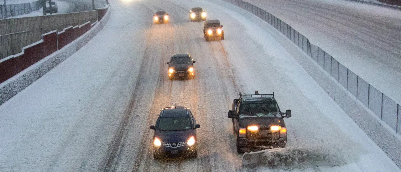
A fresh surge of Arctic air from the Polar Vortex is poised to plunge into the central and northeastern United States this upcoming weekend, possibly delivering the Interstate 95 corridor its first major snowstorm of the season if the intense cold collides with a batch of moisture sweeping across the nation.
The latest computer models show Saturday snow pushing into the Midwest and reaching the Northeast by Sunday. With that being said, uncertainty still surrounds the track, timing and snowfall amounts. Residents and travelers in the Midwest and Northeast should keep a close eye on forecast updates as new data arrives through the week.
Per the FOX Forecast Center, models indicate the Polar Vortex circulation will weaken later in the week through the weekend, allowing another surge of frigid air to dip down towards the Midwest and Northeast. (RELATED: West Virginia, Maryland Hit With Blizzard Warnings Ahead Of Massive Winter Storm)
This follows a wave of record-low temperatures already shattered Tuesday across New England.
The Polar Vortex is a vast, persistent zone of low pressure and intensely cold air around the poles, typically 10–30 miles above the surface of Earth. When the vortex is strong, it acts like a lid, trapping the coldest air over the Arctic. When it weakens, that air can spill into the lower atmosphere, and any dips in the Pacific jet stream can then funnel this Arctic air deep through the Lower 48.
❄️FLAKE FORECAST: The Polar Vortex could contribute to a quick-hitting snowstorm for Interstate 95 corridor in the Northeast this weekend. The different factors weather experts are watching in this tricky forecast: https://t.co/LUockHtMcg pic.twitter.com/hMnVQofyCg
— FOX Weather (@foxweather) December 10, 2025
If sufficient Arctic air locks in across the Midwest and Northeast this weekend, it will set the stage for a potent snow event as a fast-moving storm system — currently expected to eject from the Pacific Northwest — races eastward.
For significant snowfall to materialize, this system will also need a surge of moisture to stream northward.
If everything aligns, a coastal low could develop this weekend, dramatically boosting the odds of a major snowfall through the Northeast, which would include metro areas such as New York, Philadelphia and Boston.
For that particular portion of the Interstate 95 corridor, this would mark the first substantial snowfall of the season.
With that being said, if any of the key ingredients fails to materialize, snowfall totals would be sharply reduced.
So far, computer models have been inconsistent from run to run, repeatedly flip-flopping on whether or not enough moisture will be available to generate snow.


![Donald Trump Slams Chicago Leaders After Train Attack Leaves Woman Critically Burned [WATCH]](https://www.right2024.com/wp-content/uploads/2025/11/Trump-Torches-Powell-at-Investment-Forum-Presses-Scott-Bessent-to-350x250.jpg)