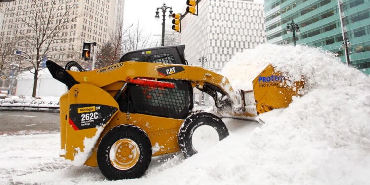
Parts of the Great Lakes region are on track to receive feet of additional snowfall by Tuesday, driven by successive waves of intense lake-effect snow moving through the area.
As of Thursday, snow is already impacting the shores of Lakes Erie and Superior in New York, Pennsylvania and Ohio — locations that are perennial hotspots for lake-effect events.
A low-pressure system is expected to move across the Upper Midwest and Great Lakes into Sunday. Once it progresses eastward, it will become entrenched within a pronounced dip in the jet stream, ushering in a steady supply of cold air and priming the region for more snow. (RELATED: Rare Snow Possible In Florida, Georgia As Arctic Cold Sweeps South)
Through the weekend and into early next week, repeated bands of lake-effect snow will continue to develop, with locations along the eastern shoreline of Lake Michigan potentially accumulating as much as two feet of snowfall by Tuesday.
The greatest risk for significant accumulation centers on southwestern Michigan, particularly around cities such as Grand Rapids and Kalamazoo.
According to the FOX Forecast Center, Grand Rapids has recorded only about 34 inches of snow so far this winter — well below the typical pace of over three feet by this time of year.
LOTS OF SNOW ❄️: Up to two feet of lake-effect snow is possible for areas along the eastern shores of Lake Michigan as the Great Lakes get battered by back-to-back rounds of lake-effect snow through Tuesday.https://t.co/ML8anAQtib pic.twitter.com/YuQXqlFk9U
— FOX Weather (@foxweather) January 16, 2026
That shortfall is poised to shrink rapidly, as current model guidance projects 18-24 inches of additional snow falling in the area by Tuesday.
These lake-effect bands are expected to generate hazardous snow squalls featuring near-zero visibility, combined with wind gusts reaching up to 40 mph, which will create extremely dangerous driving conditions across affected zones.
The FOX Forecast Center indicates that snowfall will also target regions near Lakes Erie, Superior and Ontario. (RELATED: Freezing Warning Issued As Rams-Bears Set To Be One Of Coldest Games In History With Negative 10-Degree Temperatures)
Communities including Buffalo, Syracuse, Rochester and Watertown in New York, along with Marquette in Michigan, could receive up to a foot of snow as persistent lake-effect activity continues into Tuesday.
Most of this lake-effect episode is forecast to wind down by Tuesday morning, per the FOX Forecast Center.
While more snow remains possible later in the week, it is still too early to determine specific locations or amounts with confidence.


![Donald Trump Slams Chicago Leaders After Train Attack Leaves Woman Critically Burned [WATCH]](https://www.right2024.com/wp-content/uploads/2025/11/Trump-Torches-Powell-at-Investment-Forum-Presses-Scott-Bessent-to-350x250.jpg)


