Residents of the Northeast can enjoy smooth travel conditions as they head to their holiday gatherings, though they should brace for potential snowfall and icy accumulations arriving soon afterward.
According to the FOX Forecast Center, much of the Northeast is expected to see a short period of calm weather before a fresh wave of snowfall arrives starting Christmas night and continuing through Saturday.
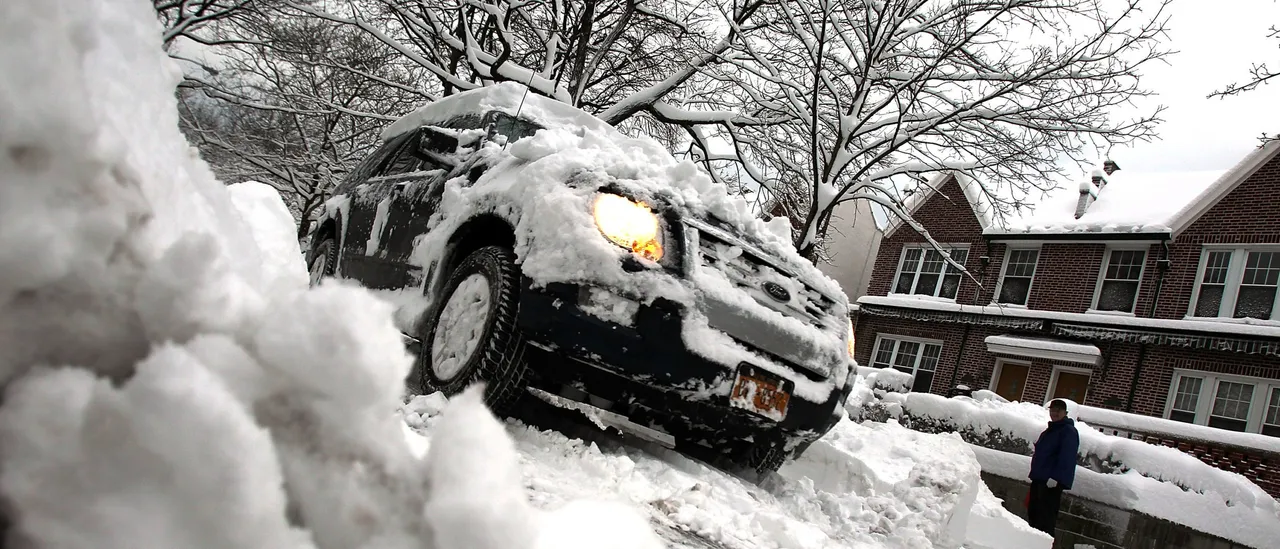
Although uncertainty remains regarding the precise locations facing the most severe effects, the schedule is gaining clarity with a mix of rain, snow and ice expected to begin Friday and persist through the middle of Saturday. (RELATED: Worries Grow For Christmas Eve As Los Angeles Area Facing Rare ‘High Risk’ Of Life-Threatening Flooding)
Snow buildup is expected across regions ranging from the Catskills and Poconos to the tri-state area. The FOX Forecast Center indicated that locations spanning central New Jersey, New York City and southern Connecticut could receive a general accumulation of 3-5 inches of snow.
Certain areas could see greater accumulations, potentially reaching 5-8 inches. The storm’s precise path and the persistence of colder air will play key roles in determining the final snowfall totals.
QUICK-HITTING WINTER STORM is likely in the Northeast right after Christmas, with heavy snow and ICE being a possibility!
Areas like New York City, Washington DC, and Buffalo will likely be affected by this. pic.twitter.com/ZxFzlfGHn4
— Max Velocity (@MaxVelocityWX) December 23, 2025
It is highly probable that Winter Weather Advisories or Winter Storm Warnings will be issued over the next few days.
A robust area of high pressure centered over Quebec is also contributing to the risk of icing, where ice buildup of one-tenth to one-quarter inch may occur in parts of central Pennsylvania. In isolated spots, greater ice accumulations exceeding a quarter inch could lead to sporadic power disruptions.
Areas facing the greatest potential for significant ice buildup encompass State College, Pennsylvania extending through Frederick, Maryland.
This may result in hazardous driving conditions from Friday afternoon through the evening and into the early hours of Saturday. However, due to the quick movement of the storm, conditions are expected to improve with roads clearing in most locations by Saturday afternoon.
The FOX Forecast Center also advises keeping an eye on another incoming storm system expected to affect the Northeast toward the close of the weekend and extending into the beginning of the week leading up to New Year’s Eve. This rapidly progressing event is anticipated to deliver a combination of rain and snow.
![Scott Bessent Explains The Big Picture Everyone is Missing During the Shutdown [WATCH]](https://www.right2024.com/wp-content/uploads/2025/11/Scott-Bessent-Explains-The-Big-Picture-Everyone-is-Missing-During-350x250.jpg)


![Maine Activists Strip at School Board Meeting to Protest Transgender Policy [WATCH]](https://www.right2024.com/wp-content/uploads/2025/10/Maine-Activists-Strip-at-School-Board-Meeting-to-Protest-Transgender-350x250.jpg)